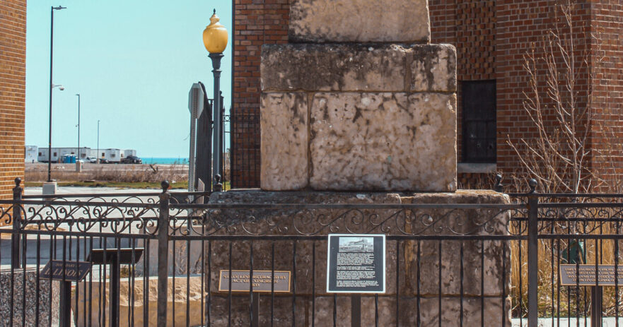
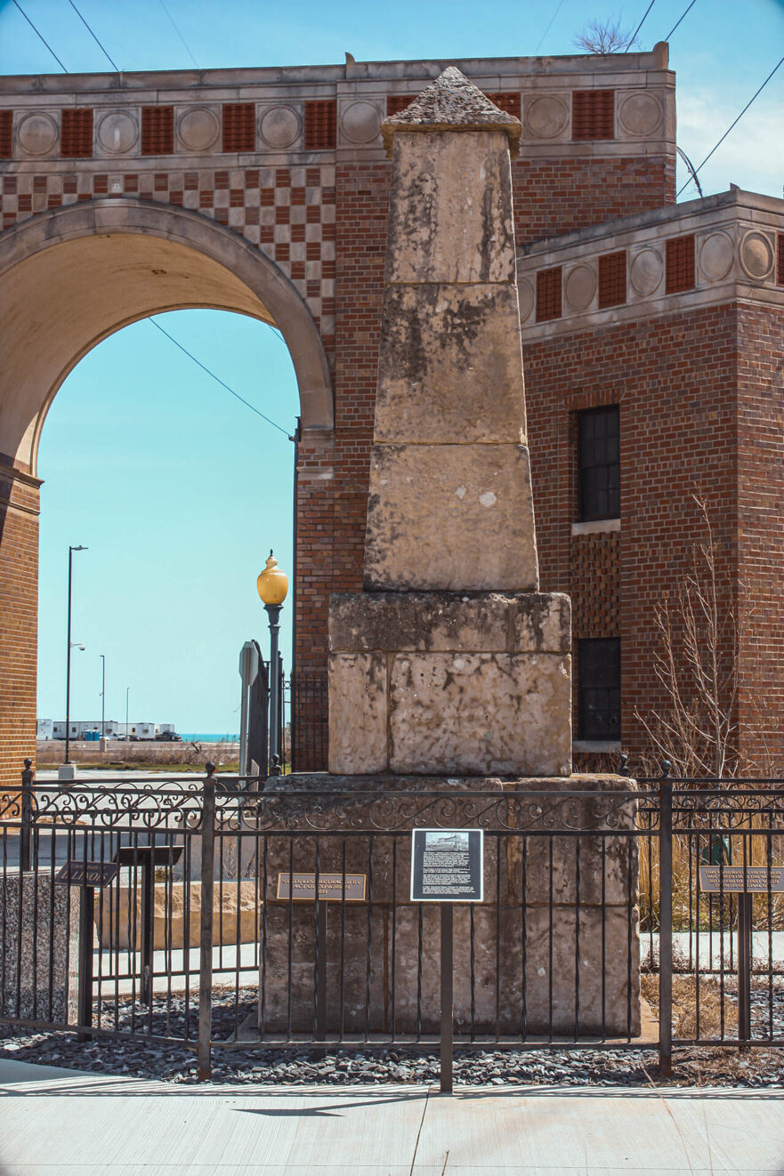
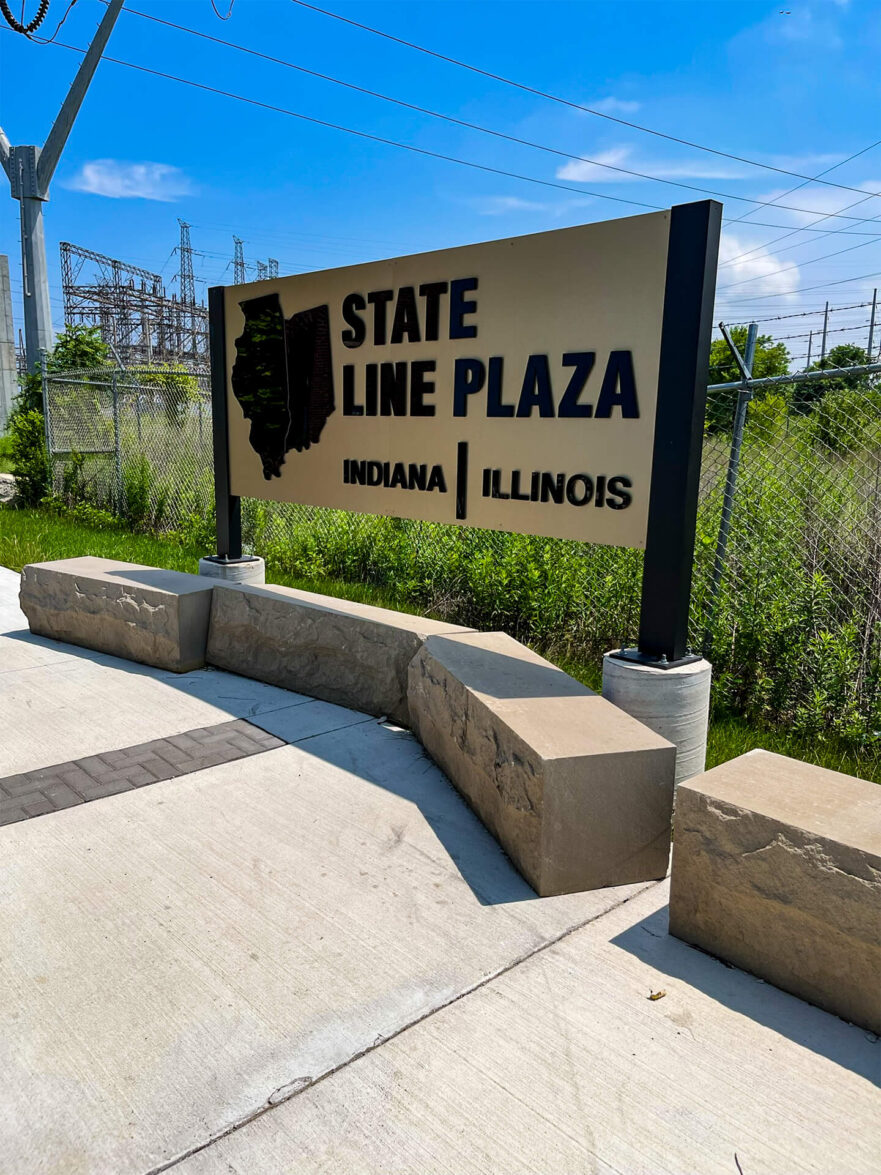
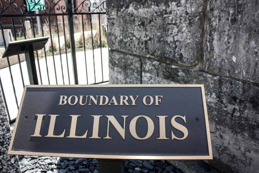
The Indiana-Illinois State Line Boundary Commemorative Marker
103rd Street at Lake Michigan
The states of Indiana and Illinois were originally a part of the Northwest Territory, ceded to the newly created United States by Great Britain at the end of the Revolutionary War in 1781. One of the earliest functions of the federal and state governments was the establishment of clearly defined state boundaries, necessary for the sale of land within its borders. Once completed, these state boundary surveys were often commemorated with markers.
A survey was completed in 1821 by Commissioner John Tipton of Indiana and Commissioner Samuel McClinton and Commissioner John McDonald from Illinois as surveyors. The two states hired these three surveyors to run and mark the line from the mouth of the Wabash River in the south to the southern extreme of Lake Michigan in the north. The surveys were completed in accordance with the 1816 Federal Boundaries Act of Congress.
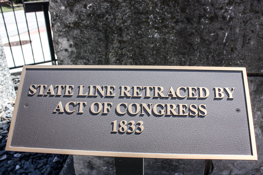
By 1833, the shifting of the Wabash River necessitated a second survey which was completed in 1834. At this time the United States Surveyor General was instructed to have a monument erected at the termination of the boundary line at Lake Michigan. The original historic site was located on the Elgin, Joliet, and Eastern Railroad right of way at the state line.
The original surveyors, local politicians, all the way down to the stone masons who constructed the original monument in the 1830’s could not have imagined the changes to come in the 150 years to follow. During that time the marker would experience wind from Lake Michigan, blowing sand from the sand dunes, as well as industrial and urban growth and its effects. During the mid-1970’s concerned citizens from both states and local organizations, including historical societies, were very concerned about the afore-mentioned changes. Additionally, graffiti became a problem. Finally, a concerted effort to rehabilitate and relocate the marker was led by Allen Benson, a long time Commonwealth Edison employee and lifelong resident of the area. From there, efforts began to have the monument moved. T&D Engineering conducted the re-surveying of the state line. From that point forward the area was named Allen J. Benson Park.
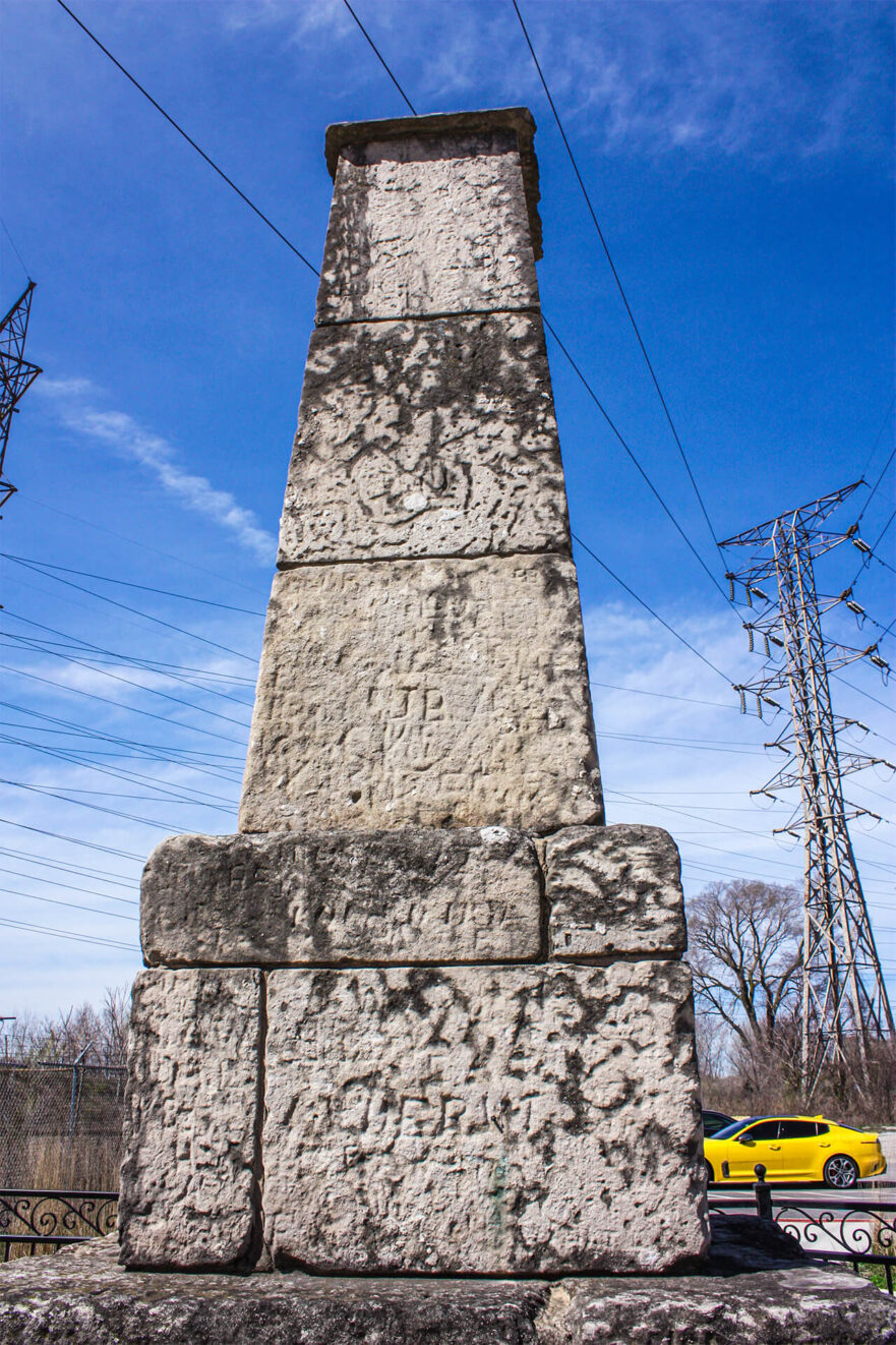
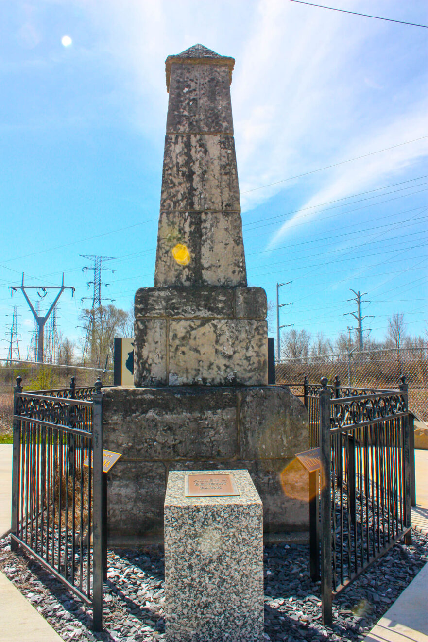
The Indiana-Illinois State Line Boundary Marker is one of the oldest extant structures in northwest Indiana. The monument commemorated the plotting and development of Indiana and Illinois, necessary for the two states to subdivide and sell land on their common border. The Indiana-Illinois State Line Boundary Markers is the only known marker remaining from the original 1821 and 1833 surveys and is a significant example of early nineteenth century monument design in stone. Its overall form is an obelisk, traditional for a commemorative monument and its construction from massive limestone/sandstone blocks make it a distinctive visual presence.
The monument consists of a two-foot high, six-foot square base supporting a smaller secondary level. This is topped by an eight-foot high gently slanted tower and an angled obelisk.
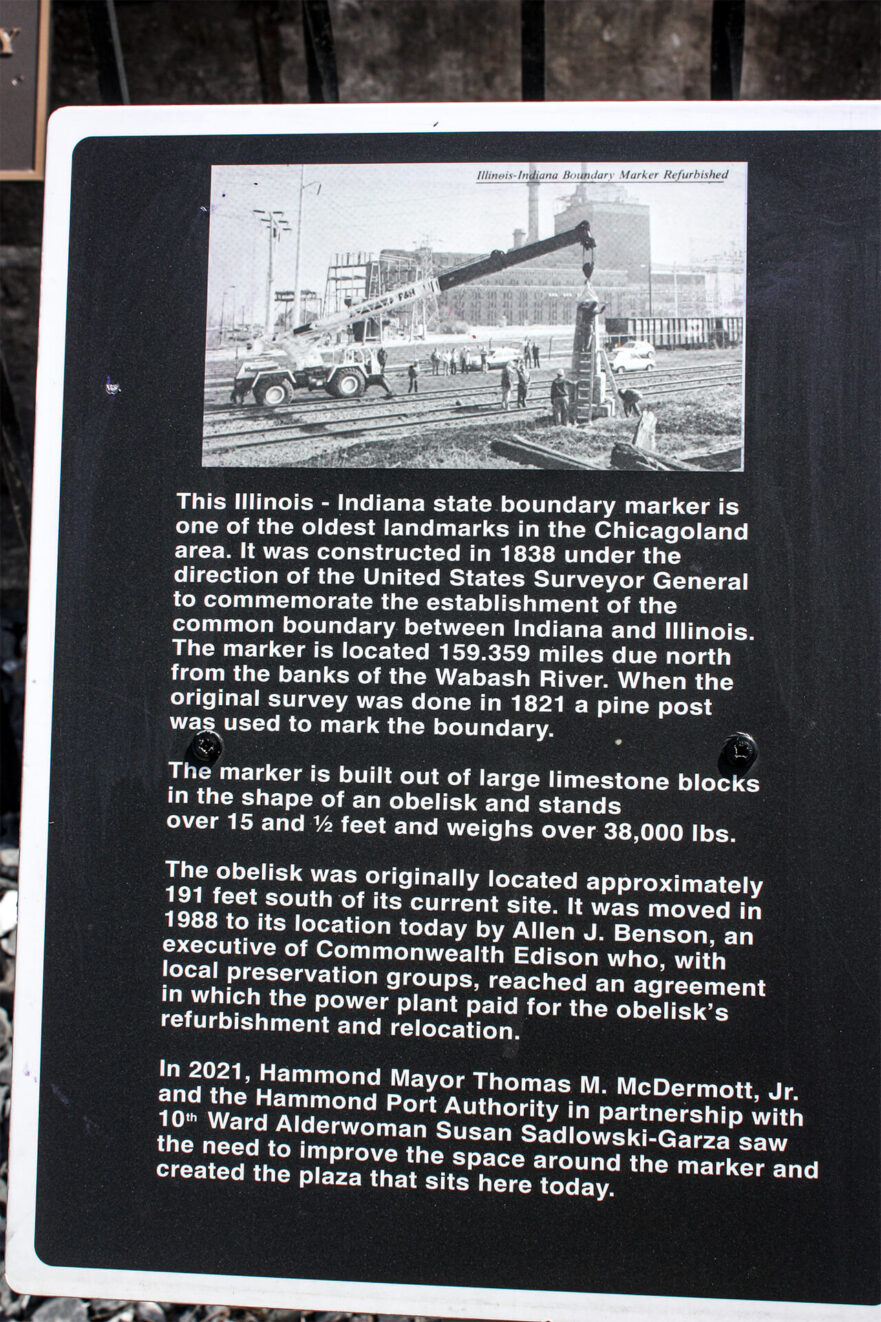
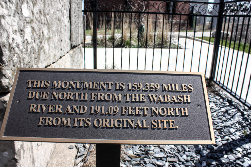
In 1988 the monument was moved to its current site of 103rd Street at Lake Michigan, adjacent to the State Line Generating Plant gatehouse. The marker was moved approximately 191 feet north from its original location. However, the structure still sits on the Indiana-Illinois state line as it was originally intended. The surrounding area has changed significantly from an isolated area surrounded by 15 – 20 feet of sand dunes to an urban setting adjacent to the State Line Generating Plant gatehouse.
At that time, it was disassembled, cleaned, and reassembled. The monument is a 9-foot stone obelisk and was mounted on a new seven-foot square by six-foot deep concrete base to provide stability. The new base is made of concrete with stainless steel straps internally placed to support and hold the blocks together.
There are four plaques one on each of the faces. These plaques have been removed and are stored with the Chicago Commission on Landmarks.
The State Line Marker was designated a landmark in both Hammond in 2003 and Chicago in 2002. A National Register nomination was prepared but the process was not completed. It is believed that the issue for the National Park Service was that the Marker was relocated in the late 1980’s. The relocation was coordinated with the East Side Historical Society (Chicago), the Illinois State Historic Preservation Office, and Commonwealth Edison. Both the current and original locations are included in the Hammond local landmark designation.
There are still more questions regarding the future of the marker because the Generating Plant is no longer functioning.
Bibliography
Casey, Martin. “Saving the Proud Marker.” America Surveyor 1988
Dyson, Carol. “Limestone Marker in the Limelight.” Historic Illinois, October 1988
Mayo, Frank. “The Old Stateline Monument – A hidden Relic of 100 Years Ago,” The Economist 1942
Murphy, Kevin P. “Chicago’s Oldest Monument”, Illinois Magazine 1989
Pence, George and Nellie C Armstrong. Indiana Boundaries: Territory, State and County. Indiana: Indiana Historical Society 1933
The Hammond Historic Preservation Commission, Historic Districts & Landmarks
